Summer Weather Forecast 2026
Hello and welcome to my Summer Weather Forecast 2026, aimed at Reading & Berkshire, though realistic could apply to much of southern/central England, as it will be fairly broad-brush.
Usual caveats, seasonal forecasting is experimental – my hope is always to get more right than wrong, but even that is not always the case.
Whilst you can (and I do) make an argument for the most likely weather patterns, events will at times skew this – all it needs is a hurricane in the Atlantic, or typhoon in the Pacific, to change the track of the jetstream and the forecast can go to pot, at least temporarily. Amongst other possible events.
I don’t think my spring forecast was too bad, for example May I said would see wetter conditions earlier and drier, sunnier conditions later – whilst I didn’t see record-breaking temperatures 3 months in advance (which is impossible), I was very confident on warmer than normal temperatures. My April record was not so great, March reasonable.
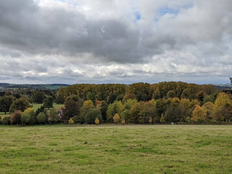
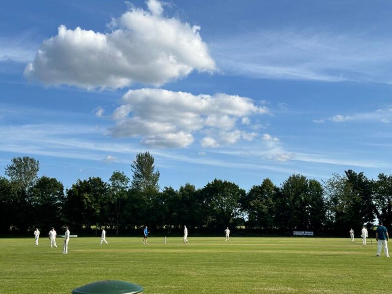
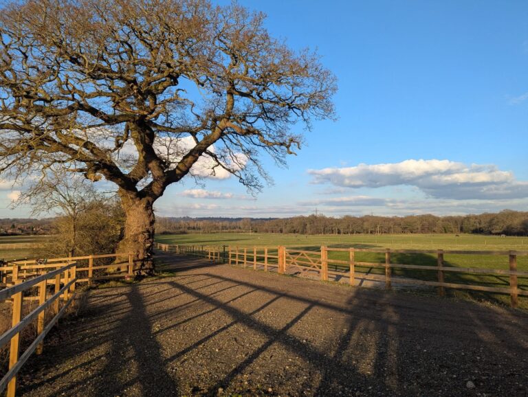
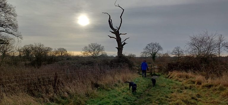
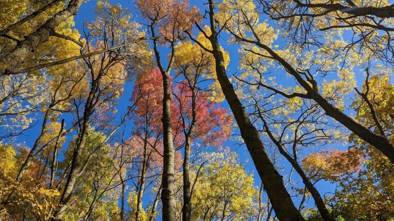
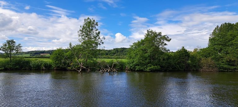
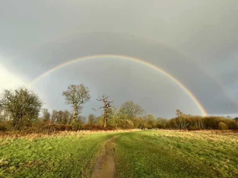
Thanks to Andy for the photograph, and all those that sent them in for this forecast, and the others. My forecasts would be far more boring without them.
Background Signals
Background signals tend to have less impact in summer, but the one that people will be talking about over the coming year is El Niño and the potential for a “Super Niño”.
El Niño’s influence on weather patterns around the Pacific countries is definite and somewhat predictable – on our weather is more limited and also less predictable. It’s sometimes easy to say “x happened because of El Niño” in the UK, not so easy to say something will happen in the UK because of El Niño, as the other usual background signals are in play also.
Anyway, it is just developing, so any impact would have a lag and there isn’t likely to be a case of saying “summer was x because of El Niño” in a few months time, although I’m sure the usual suspects in the media will attempt to.
What impact it will have for the globe, is an increase in global temperatures – so we’ll probably see 2027 as the hottest year on record, and statistically that means our little corner of the globe may well follow.
I’m sympathetic to the argument that the chance of unsettled weather in autumn, and a warmer more westerly-driven winter (not necessarily unsettled, could well be cloudy and dry) are slightly more likely under El Niño.
And despite the above, there are also analogues (previous years with El Niño developing at this time of year) that suggests more westerly flows, especially in June – ie greater chances of showers/rain. I remain on the fence about those.
June
So we are a week into June when writing this, alas, due to my holiday and needing to catch up with life last weekend.
Anyway, I’d long signalled an unsettled start to June, and though I thought it would be starting to settle down by now, the cool and showery conditions will last at least a few more days.
By around the second Friday/Saturday of June, we should see high pressure build from the south-west – and generally dry, sunny and very warm weather dominates, though maybe not perfectly every day.
Shortly after there is a good chance of further hot/very hot weather – if this happens, I wouldn’t be surprised if the June record of 35.6’C was broken somewhere in the UK.
Towards the end of the month, we may see less hot conditions, either from weather fronts trying to nudge in from the west bringing cloud and a little rain – or more likely thundery lows developing to the south and spreading north, with high humidity if so.
Overall, despite the cool start to the month, I expect above-average temperatures, around average sunshine amounts and slightly above-average rainfall.
Confidence level around 70%.
July
July looks pretty mixed, though that likely includes some heatwaves and downpours. My guess is that it starts very warm but without any excessive heat.
There is a signal for lower pressure to be to our south west, which will drive hot weather for much of continental Europe and at times the UK, so we’ll sometimes (maybe often) see hot/very hot weather, but also at times see thundery lows spreading up from the south-west to break down heatwaves, and they’d then cool things down for a few days, with initial downpours turning into a few cloudier/showery days.
Before the heat returns.
There isn’t particularly a signal for any part of the month to be hotter/wetter, etc, more a repeated pattern of hot weather, followed by downpours, followed by cooler, cloudier showery weather – and repeat the pattern.
Overall I expect above-average temperatures, around or slightly-above average sunshine amounts, and at least slightly-above average rainfall (depending on whether you catch some notable downpours).
Confidence level around 50% – I do think there is a plausible chance that high pressure is centred further west and we have fewer breakdowns and less tendency for very hot conditions instead (still very warm/hot), but I’ve given my view on the more likely outcome above.
August
For August, I expect a bit more influence from high pressure to our east, so tending to be longer dry/sunny spells – especially earlier in the month, and again later in the month.
Definitely the chance of some unsettled weather at times – generally from breakdowns of hot weather in a similar fashion to August, and some occasional heavy showers on hot days.
Probably it is often very warm/hot.
Overall I expect above-average temperatures, at least slightly above-average sunshine amounts, and around average rainfall.
Confidence level around 50% – hurricane season can have some impact on the jetstream by this point so my confidence level is never that high for August.
Summary & Autumn Thoughts
So, potentially scorchio quite often but not a dry summer either.
Remember this is my reading from long-range models and extrapolating from recent conditions/years and general patterns – so it may or may not work out like this. But it would be a surprise if it was not a hotter summer than normal, and there were no further significant heatwaves. A real surprise.
Early thoughts on autumn are for an often pleasant September and an unsettled October/November, being the currently more likely outcomes.
Wishing you all a super summer…and hope you can cope with the almost-inevitable heatwaves. Do feel free to share.