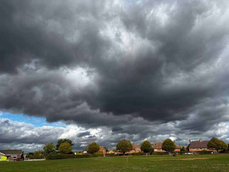
The disturbed spell continues for at least a few more days, with further heavy rain and strong winds often.
Thanks to Pauline for the photograph.
The general set-up sees multiple low pressure systems across our quadrant of the world, developing quickly and deeply, driven by a fairly strong and slightly more southerly jetstream.
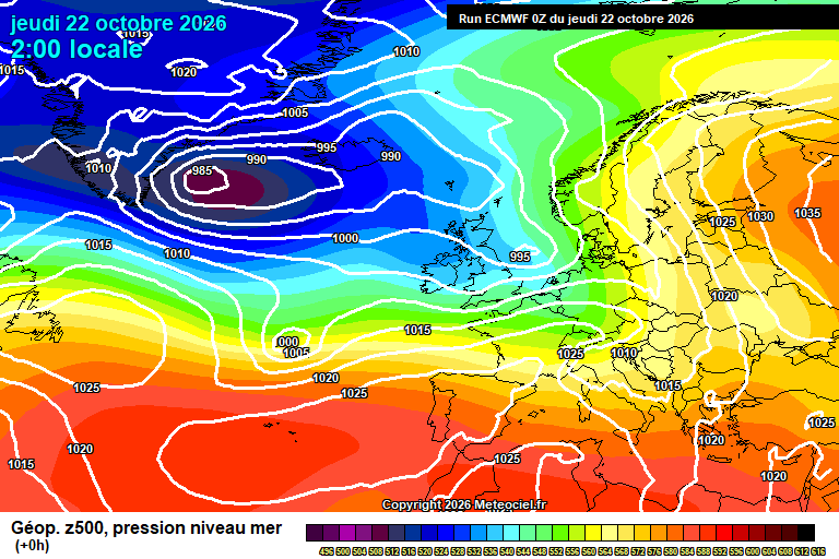
Today is actually a fine day – in between systems. Sunny spells, variable amounts of cloud, an outside chance of a stray shower but unlikely. Breezy and around 14’C. Rain arrives this evening, roughly around 8pm – give or take, continuing all night though somewhat more showery in nature after midnight. Some heavy/very heavy bursts mixed in, a small chance of a rumble of thunder. Quite windy at times, down to around 11’C.
Friday sees showery rain for much of the day, some heavy, perhaps occasionally very heavy – though there will be some short dry spells. The rain generally becoming lighter and patchier after lunchtime. Strong winds also during the afternoon. Around 12’C during the morning but dropping in the afternoon to around 9’C – so it will feel pretty horrid in the wind, at least compared to what we’ve been used to. Clear skies and fading winds for a time overnight, down to around 6’C – cloud thickening later in the night.
Saturday starts bright but cloud will continue to thicken with patchy light rain possible from around 8am, and more persistent and heavy rain from around 10/11am onwards. Quite a soaking in the afternoon, a lot of heavy, occasionally heavy rain – strong, gusty winds too. Temperatures will gradually rise during the day, peaking around 15’C early evening. Rain will clear at some point either mid/late evening, clear spells following but remaining windy – down to around 8’C.
Sunday will be a windy day, with strong, gusty winds – but also fairly sunny, with some fair-weather cloud around, and an outside chance of a shower. Around 12’C or so. The winds easing during the evening. Clear skies for a time overnight, though cloud thickening later – down to around 5’C.
The next low pressure system arrives on Monday, with another closely behind – but it isn’t quite as developed and the Azores high is trying to poke our way again
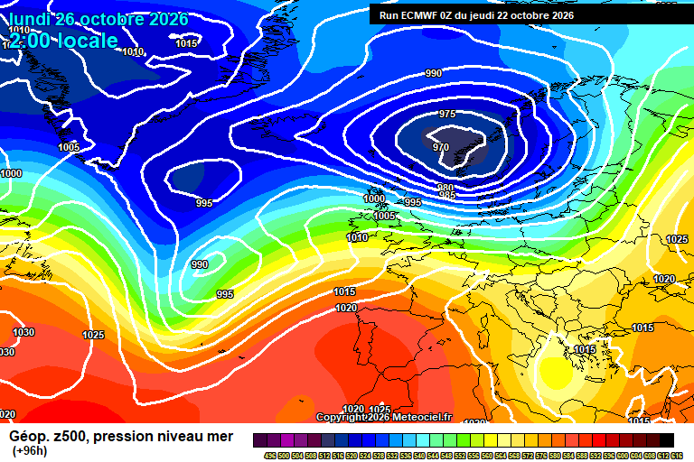
But still, Monday will be cloudy with outbreaks of probably light to moderate rain (cannot rule out some heavy bursts), drier in the afternoon with maybe a bit of brightness also – though still a spot of rain possible. Windy though not as much as previous days, and becoming milder as the day goes on, up to around 16’C, maybe 17’C by late afternoon. A mild night, stronger winds probable – another band of rain possible but uncertain.
This is where details start to struggle.
Tuesday probably is a windy day – rain likely crosses some point either Monday night, Tuesday day or Tuesday evening.
The more likely outcome after that is high pressure building from the south/south-west, so more in the way of dry and mild, if not quite warm weather. At least for a couple of days. Perhaps some overnight and early morning fog. Cloud/sunshine balance uncertain.
The slightly more likely outcome after that is for high pressure to broadly be in control, so more in the way of dry and settled weather. But pretty low confidence.
Have a pleasant (if indoors!) end of the week. Next forecast should be on Sunday morning.
Any comments?
No comments yet. Be the first to comment!