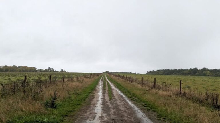
A mixed week ahead – some sunshine, some fog – and some rain too.
Thanks to Kate for the photograph.
The general picture sees low pressure trying to push up from the south-west – it will get blocked and forced back south-east towards Italy, but not before bringing us a bit of rain mid-week.
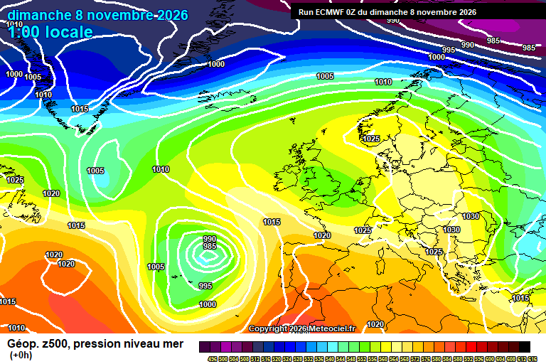
Today starts foggy. It should lift around lunchtime, maybe early afternoon with some sunny spells for the afternoon. Around 11’C. Clear skies overnight, pretty chilly – down to around 2’C, though the most rural spots perhaps the first 0’C of the season (unless I’ve missed something…always possible). Fog again forming later in the night.
Monday likely starts foggy again, perhaps only misty/low cloud in places. Again it should lift, roughly around lunchtime – with sunny spells to follow. Not impossible that you stay with low cloud/mist all day though. Around 11’C. Reasonably clear skies overnight though cloud will thicken towards dawn. Down to around 4’C – give or take.
Tuesday will be mostly cloudy as bands of rain try to push in from the south-west. Uncertainty on timing, but any time from dawn onwards could see outbreaks of showery rain. Around 10’C and a bit of a breeze. Showery rain will continue on and off in the evening and overnight, probably some heavy bursts mixed in. Down to around 8’C.
By Wednesday the low pressure is closer, but we also see high pressure building to our north-west – which will stop it making any more progress towards us.
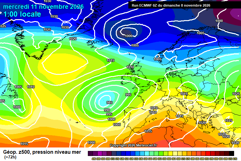
Wednesday continues cloudy with showery rain on and off. Perhaps drier in the afternoon – but only perhaps, rain will remain more likely. Around 10’C. More showery rain possible in the evening and overnight, though drier and colder air will be trying to spread down from the north – the timing of all this is the uncertain aspect, the direction of travel is determined. Somewhere between 4’C and 8’C overnight, depending on how quickly the colder air arrives.
Thursday should see the colder, drier and sunnier air arrive – though some uncertainty on timing, potentially still rather cloudy in the morning, sunnier more likely later. Around 9’C but it will feel colder in the northerly breeze once it sets in. Clear skies likely overnight, and assuming so a frost possible, especially in more sheltered spots – down to around 1’C, give or take.
Friday should then be sunny but cold – temperatures around 8’C. Frost or fog possible overnight.
Probably Saturday is sunny and dry – not especially high confidence.
After that we should see a return to a westerly flow, so more wind and rain – traditional autumn.
This might start by Sunday, if not then by Monday/Tuesday we should have weather fronts pushing across bringing rain.
This then lasting a week at least, but more likely a few weeks of often unsettled conditions, though some variability.
The sudden stratospheric warming event is happening at the moment. Far too early to determine if and what the impact on our weather will be, but certainly we have a ticket or two to the cold and wintry raffle this December. Whether such a spell transpires is far too early to tell.
Enjoy the fog.
Any comments?
No comments yet. Be the first to comment!