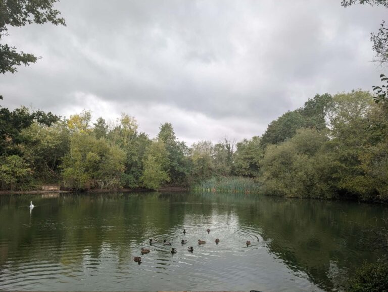
The soaking is over, but still mixed ahead – more sunny days, some rain on other days.
Thanks to Philippa for the photograph.
The general overview sees Storm Boelo in control, centred to the north, though it will keep moving away.
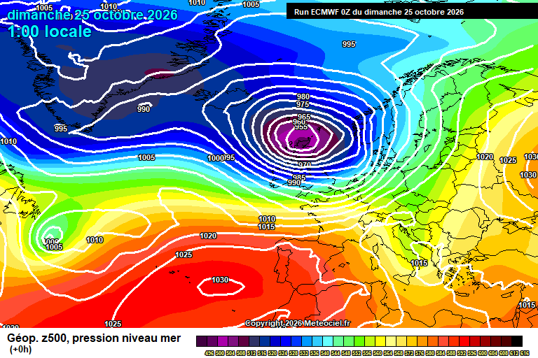
Sunday is therefore a windy day, some pretty strong gusts at times, but also plenty of sunshine, some fair weather cloud – and around a 20% chance of a passing shower, which should be fairly innocous if you do catch one. Reaching around 13’C. Clear skies at first overnight, lighter winds too, though cloud thickening later in the night as the next system approaches. Down to around 7’C.
Monday starts cloudy with rain arriving around 7/8am. Generally quite moderate rainfall, occasionally heavy-ish. Becoming lighter and patchier from around lunchtime, mostly dry from mid-afternoon onwards, even a bit of brightness possible. Quite windy though less so than today, and becoming much milder – around 16’C by the end of the day. Cloudy overnight, one or two showers possible, more general showery rain from around 3am onwards, potentially briefly very heavy. Winds stronger after midnight too. Remaining very mild at around 16’C.
Tuesday starts with this band of rain, though it will clear by mid-morning at the latest. Sunny spells and variable cloud amounts will follow, perhaps a shower though shouldn’t be heavy if you do catch one. Quite windy and around 15’C. Mostly clear skies overnight, down to around 8’C.
By Wednesday we start to see high pressure building from the south, calming things down.
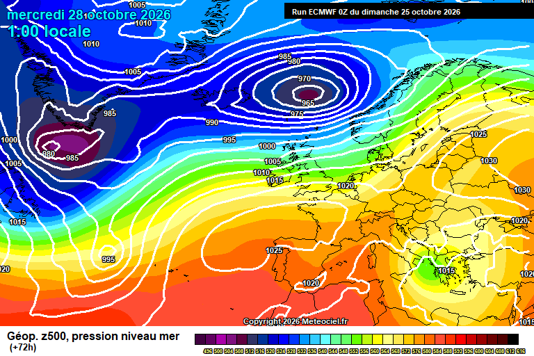
Generally a mixture of sunny spells and cloudy spells, still breezy and a small chance of a shower. Around 15’C. Again a mixture of clear and cloudy spells overnight, though a chance of fog forming by dawn, down to around 7’C.
Thursday potentially starts foggy. Once this clears then a mixture of sunny spells and cloudy spells. Temperatures somewhere between 12’C and 15’C – depending on how quickly the fog (assuming it did form) clears. Clear spells overnight – again fog may form before dawn, uncertain at this stage. Roughly down to around 6’C.
Friday probably is fair with hazy sunshine, and gradually clouding over as the day goes on but there is some uncertainty due to a probably low pressure system trying to form to our west and move across. Probably breezier too, and roughly around 15’C. Some rain possible overnight.
Next weekend probably sees high pressure building again so more in the way of dry and sunny weather – though that little low pressure may still bring some rain/wind early Saturday, too early to be sure. Roughly around 12’C to 14’C.
Not especially high confidence but more likely a dry week after, or at least more dry days than days with rain. Fog potential is there, along with chilly nights, but too early for details really.
After that probably more mixed, unsettled at times for the rest of November is more likely, but not guaranteed. Plausible that high pressure dominates instead, and perhaps some colder conditions.
Have a pleasant Sunday.
Any comments?
No comments yet. Be the first to comment!