An unexpectedly unsettled week ahead.
A bit of a strange one this – a week ago I thought high pressure (and settled, dry conditions) would dominate for the rest of the month, but pretty much out of nowhere the opposite is happening with an unsettled week ahead – granted I thought it 50/50 on the midweek forecast.
Though a week before that, I did think something mixed was more likely – so it really was the projected strong high pressure system that isn’t really transpiring.
Worth keeping a closer eye on the forecast if you have travel plans late next week/weekend – chances of some disruption.
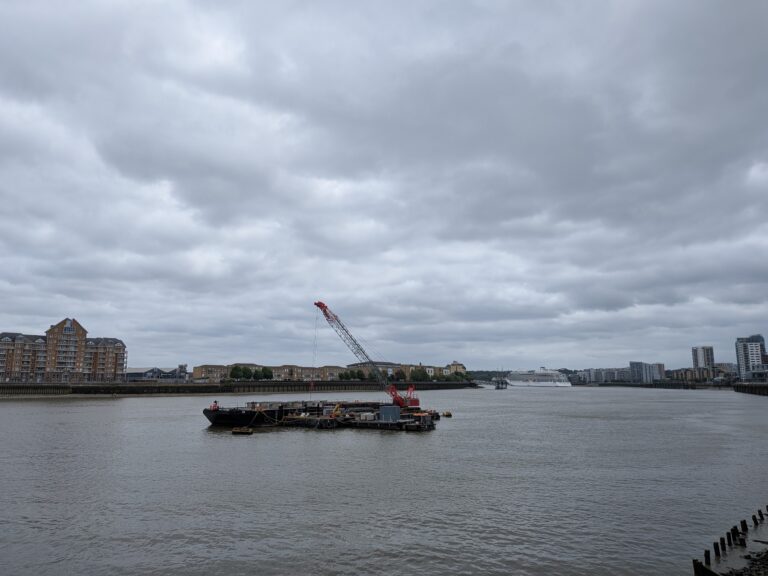
Photograph is from myself of the Thames in London – the only photographs in my inbox are far too sunny to use! Even this one is months old.
So a bit of a longer introduction than normal – high pressure did still build over the UK and that’s where we are now, with a small low pressure currently over Belgium which will affect SE England.
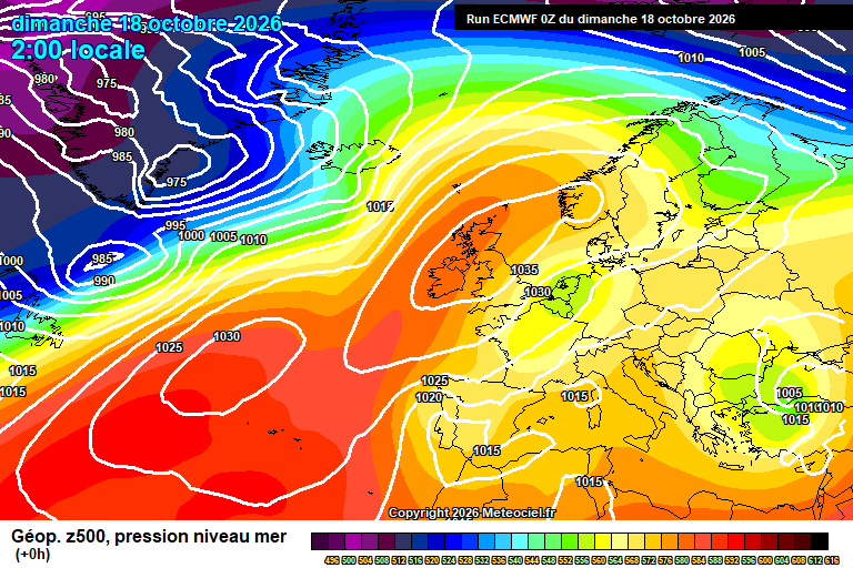
Sunday starts reasonably sunny, if chilly – some cloud around. Gradually cloud amounts will increase, a few scattered showers around too though hit and miss. Chilly in the easterly breeze but reaching around 13’C. Showery rain spreading across from the east during the evening and first part of the night – drier later. Down to around 7’C, give or take.
Monday sees sunny spells with variable amounts of cloud – though tending to be more cloud later in the day. Around 14’C and a bit of a breeze. Cloud thickening overnight with some showery at times – though mostly light/moderate. Around 10’C.
By Tuesday that little low pressure that was over Belgium on Sunday is now close to our south-west, and being re-inforced by Atlantic systems.
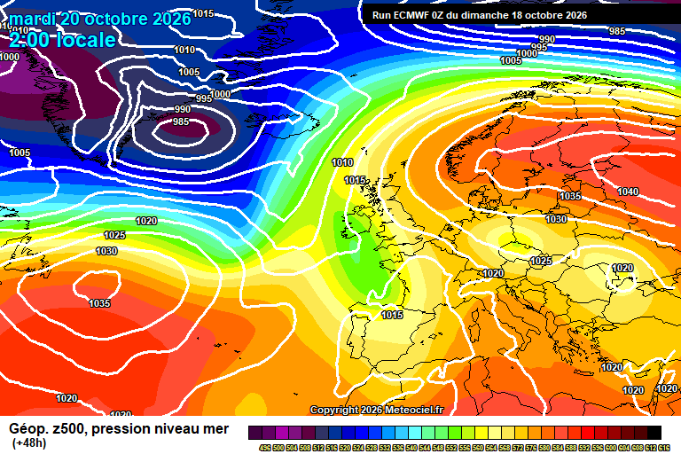
Some uncertainty on details, but most likely rain or showery rain for a good portion of the day. Rain will be moving up from the south-east, but then moving north-east as the little low pressure gets more Atlantic influence. Around 12’C. Most likely dry overnight though a chance of rain by dawn. Down to around 7’C – ish.
Wednesday again sees further showery rain – this time pushing west to east, as is normally the case. Details still to be finalised in terms of timings, though rain more likely in the morning, showery nature more likely – still possibly some in the afternoon, and perhaps some sunny spells later in the day as it clears. Around 13’C and windy later in the day too. Clear spells for a time overnight, down to around 5’C – though probably an area of heavy showers will cross after midnight, again a bit of uncertainty.
Thursday is probably a case of in between low pressure systems – so a fair day with sunny spells, variable cloud more likely – cloud probably thickening later in the day. Around 14’C. Heavy/very heavy rain probable overnight, and perhaps strong winds, as the next system arrives.
Friday sees the next low pressure system sweeping through.
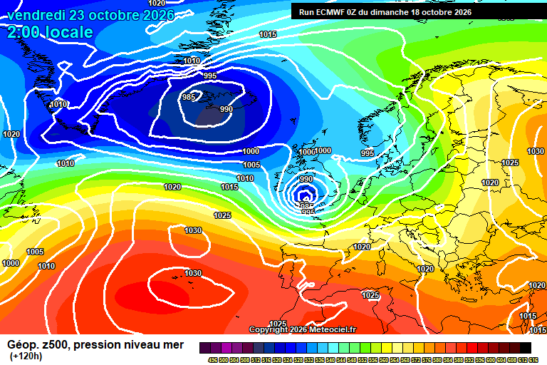
This one has potential to be quite nasty and disruptive. Still 5 days away so it could just be fairly normal autumn system, but there is the potential for it to be strong enough for damage/distruption, gales, a few trees down, etc.
Otherwise broadly speaking rain clearing to blustery showers, though timing TBC on all this. And around 12’C or so.
More likely next weekend sees further strong winds and heavy rain – so do keep an eye out on the forecasts if you have plans.
Uncertain where we go after that – I wouldn’t be surprised if either we get high pressure building in from the south-west with some dry/mild days, or if there is further stormy weather. Perhaps we oscillate between the two. Likely going to be a tricky period for forecasting.
Autumn. Definitely autumn.
Any comments?
No comments yet. Be the first to comment!